Rotterdam is the first city in the Netherlands to explain all its street names. This explanation can be requested via a QR code when walking the street. Next year, the first of the total of almost 6,500 streets will be explained.
Lusthofstraat, Karel Doormanstraat, Meent or Oude Binnenweg. What is the origin of those names? Rotterdam currently has 6402 road names. Some of them are named after controversial historic figures. That’s why the municipality got a request to provide explanations for names that refer to the colonial and slavery past. It was decided to explain all the names. Because in addition to the sometimes vital context, it is also nice to know what the background of a street is. The aim is to bring history to life in an innovative way.
Database of street names
Last year, the Street Names Committee categorised all existing street names in Rotterdam. It was assessed whether a street name refers to a person, a location, a historical event and other categories. The current digital database, which shows all names of Rotterdam on a map, contains brief information about when the street was given that name and what the name means. These explanations will be extended and supplemented.
The information is really brought to the street by making it quickly and easily accessible via a QR code on your smartphone. The reading of QR codes has really taken off in the corona period, making it easy for a lot of people to use.
Alderman Karremans: “All the streets in the city have been given their names for a reason. It is a good idea to explain all. The history of the city, from very early to more recent times, is reflected in the names. This is how we want to make it better known. From fun facts to important historical awareness.”
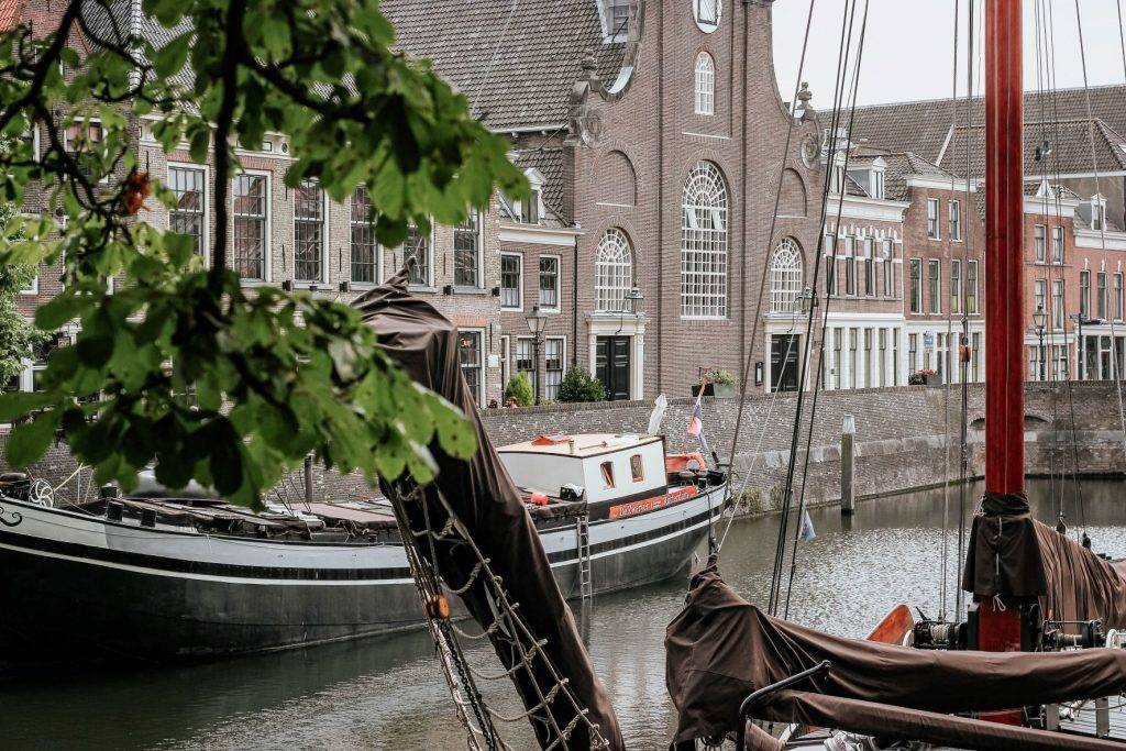
Cover: The Aelbrechtskolk in Delfshaven by Visual Stories || Micheile Henderson.
